In South Texas, the weather this week is set to be dominated by warm temperatures and considerable wind activity. Known for its unique blend of subtropical and continental climates, South Texas is experiencing the characteristic changes that mark the transitional period between seasons. As residents prepare for the days ahead, understanding the intricate details of the weather forecast becomes crucial. With a combination of cloudy skies, intermittent sunshine, and possible light showers, maintaining awareness of changing conditions will help ensure safety and comfort.
The forecast indicates that the warm temperatures, combined with strong winds, will be a distinguishing feature in the region. This article will delve into the specific weather patterns predicted for various areas, offering insight into what residents can expect and how best to prepare for the upcoming conditions.
South Texas Weather Overview
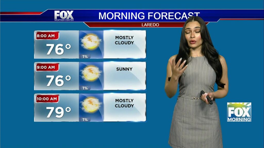
This week, the climate across South Texas reflects a complex interaction of warm air masses and strong winds. As the forecast unfolds, residents are encouraged to prepare for a mix of weather conditions ranging from cloudy skies to potential sunny breaks. Areas including Laredo, La Joya, and Rio Grande City are predicted to experience these combined patterns of cloud cover and sunshine, drawing in moisture from the southwest that may lead to light showers in certain areas.
Wind and Temperature Patterns
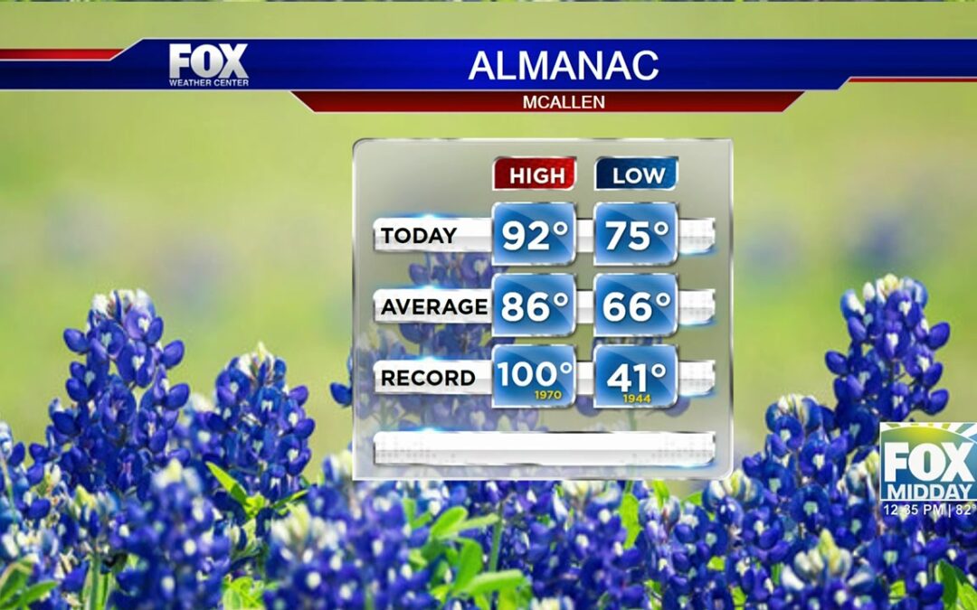
The city of McAllen exemplifies the broader regional forecast with conditions currently hovering at a warm 78 degrees Fahrenheit. Predominantly cloudy skies are prevalent, accompanied by low-hanging cloud cover that may disperse throughout the morning. A notable increase in wind activity is also anticipated; winds are expected to blow from the southeast at 21 miles per hour, escalating to gusts between 30 and 35 miles per hour. These windy conditions are likely to persist throughout the week, extending into the weekend, while the temperatures remain relatively stable.
The impact of these winds will be felt across the region, with various cities experiencing similar conditions. The forceful winds might lead to challenges for light structures and is something to be cautious about while outdoors. Given the temperature highs that persist into the upper 70s and 80s, residents should remain vigilant and plan for potential weather-related disruptions.
Extended Forecast and Precautions
The extended forecast presents an evolving picture as we move into the weekend and beyond. There is an 88% chance of rain on Sunday, suggesting a shift towards cooler and wetter conditions. However, warmth will rebound on Monday and Tuesday, with temperatures predicted to stay in the upper 80s. By Wednesday, a sharp rise is expected, with temperatures nearing 98 degrees before easing slightly by Thursday.
Despite predictions for rain, pockets of sunshine are expected to intermittently break through the cloud cover. However, isolated thunderstorms pose a potential threat in certain areas. Residents are advised to exercise caution, especially during outdoor activities, and stay informed through local weather alerts and updates. The persistent strong winds, coupled with the inconsistent temperatures, highlight the need for preparedness in the face of rapidly changing weather conditions.
Throughout the week, keeping an eye on weather developments and planning according to the forecasts will be essential for minimizing weather-related issues.
Additional Resources
For further weather updates and detailed forecasts, visit the NOAA's National Weather Service website.