South Texas is experiencing a rather unusual weather pattern this week characterized by high winds and warm temperatures. As residents and visitors navigate this breezy climate, several advisories have been put into place to help manage the impacts of these conditions. With gusty winds and clear skies dominating the forecast, people across the region are urged to stay informed and take necessary precautions. The steadfast presence of sunshine serves as both a reminder of typical Texan weather and a signal to prepare for the potential hazards that such conditions bring.
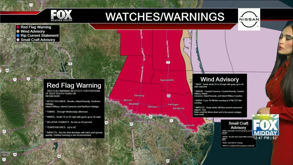
As a red flag warning signals heightened fire risk due to increased wind speeds, residents of South Padre Island and surrounding areas are particularly vulnerable. These weather patterns are a product of winds sweeping in from the south at speeds reaching up to 30 mph. Yet, these blustery conditions accompany pleasant temperatures ranging from the low to mid-80s, making it an opportune moment for outdoor activities, albeit with caution.
The push of warm air into the region disrupts the normal winter chill, leading to an environment more akin to early summer. This non-traditional winter weather is the backdrop for this week's outdoor plans and necessary precautions, predominantly centered on simultaneous sun protection and fire safety.
Current Weather Conditions
This week, wind and warmth are the prevailing themes across South Texas. With temperatures resting around 83 degrees Fahrenheit, these conditions are amplified by clear skies and pronounced sunshine. Wind speeds along the coast are brisk, reaching up to 30 mph in locations such as South Padre Island. These breezy conditions not only provide a cooling effect but also raise concerns regarding fire hazards due to the dry atmosphere. Consequently, advisories encourage heightened awareness, particularly near open fields and outdoor areas.
Temperature Trends and Future Outlook
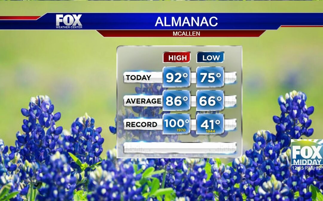
Forecasted temperatures in South Texas highlight an upward trend, with readings approaching the high 90s in certain places. The blaze of the midday sun and evening relief from the heat, where temperatures dip into the 60s, offer a temporary cool down. This atypical warmth for mid-winter advises a return to summer-like precautions such as drinking ample water and readying protection against extensive sun exposure. As the week progresses, understanding whether this seasonal anomaly will persist could influence outdoor plans.
Extended Forecast and Precautions
In looking to the days ahead, the forecast remains consistent with these initial patterns, blending warm temperatures and varied wind conditions. With weekend temperatures set to range from the upper 80s to mid-90s, there’s a minor expectation of showers precipitating from the Gulf. Still, an arid and hot atmosphere will largely define the climate. All residents and tourists are thus advised to stay prepared for possible weather shifts. The likelihood of high winds calls for securing outdoor furniture and ensuring proper vehicle operation, particularly for high-profile vehicles susceptible to crosswinds.
Furthermore, the elevated danger of wildfires calls for caution while venturing into nature, ensuring that campfires are extinguished thoroughly and cigarette butts are disposed of responsibly. These basic preventive measures can help in mitigating any fire-related risks.
Additional Resources
Keeping abreast of the latest developments in the weather can profoundly influence planning and safety strategies. For continual updates and alerts, visit the National Weather Service’s official website at weather.gov. This resource provides current advisories, specific regional forecasts, and detailed charts that convey upcoming temperature trends and weather conditions.